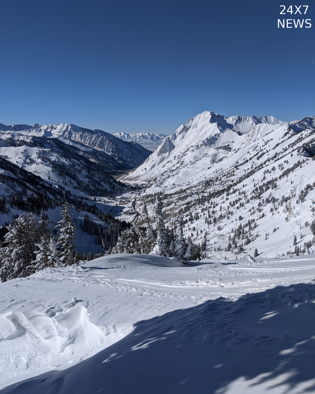
The National Weather Service in Salt Lake City issued an October 31 winter weather advisory for the Wasatch Mountains south of Interstate 80 and the western Uinta Mountains.
The notice forecasts 8 to 12 inches of snow, primarily above 8,000 feet. Locally higher totals of 18 to 24 inches are possible above 10,000 feet in the Little and Big Cottonwood areas and the Uintas.
The advisory begins at 9 p.m. Mountain Daylight Time Saturday, October 31, and continues until 11 a.m. Mountain Standard Time Monday, November 2. Its validity period crosses Sunday’s daylight-saving time change.
Forecasters expect gusts as high as 45 mph. The bulletin warns that travel could become difficult, traction restrictions may be enacted and strong winds could bring down branches.
These are forecasts for the advisory period, rather than snowfall or wind measurements from Saturday. The higher accumulation range applies to the specified high elevations.
The weather service directs travelers to the Utah Department of Transportation’s traffic service for current winter road conditions.
Sources NWS Salt Lake City — October 31 Winter Weather Advisory: https://api.weather.gov/alerts/urn:oid:2.49.0.1.840.0.daefc444d0fbfa9fe5e9ffc37d38fb6e6cef5886.001.1