Naguabo Flood Warning Extends Until 8 P.M.; PR-31 Remains Closed
A new NWS warning covers Naguabo through 8 p.m. AST Sunday, with Highway 31 still closed at kilometer 8.0.
Reporting and context from the 24X7 News newsroom.
A new NWS warning covers Naguabo through 8 p.m. AST Sunday, with Highway 31 still closed at kilometer 8.0.
The NWS warns that recreation is unsafe along affected Arizona river stretches, with flooded low-water crossings and warnings through Monday morning.
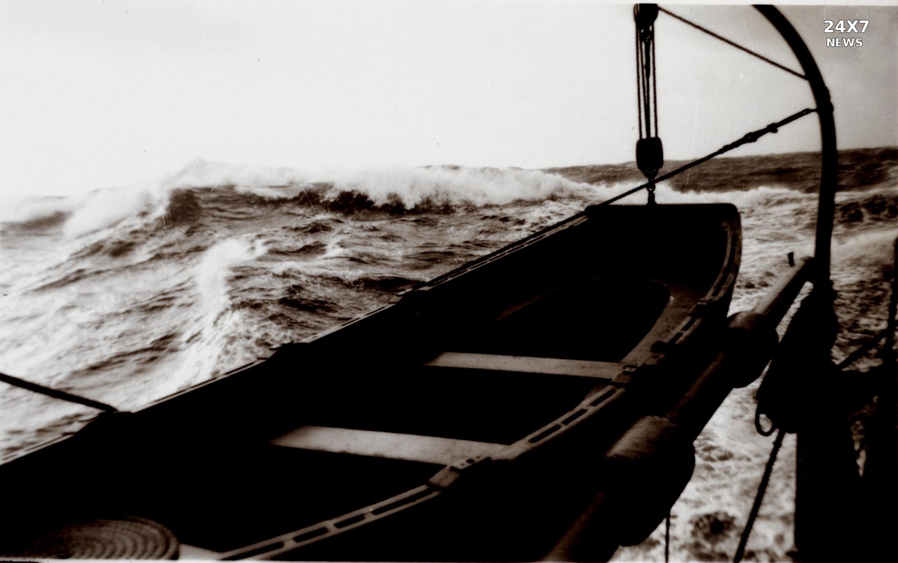 Archive: Gulf of Alaska aboard Explorer, October 1948. Harley D. Nygren / NOAA Photo Library. Public domain.
A newly issued NWS warning covers offshore waters north of 57 degrees north and west of 144 degrees west on Monday, with seas forecast to build substantially.
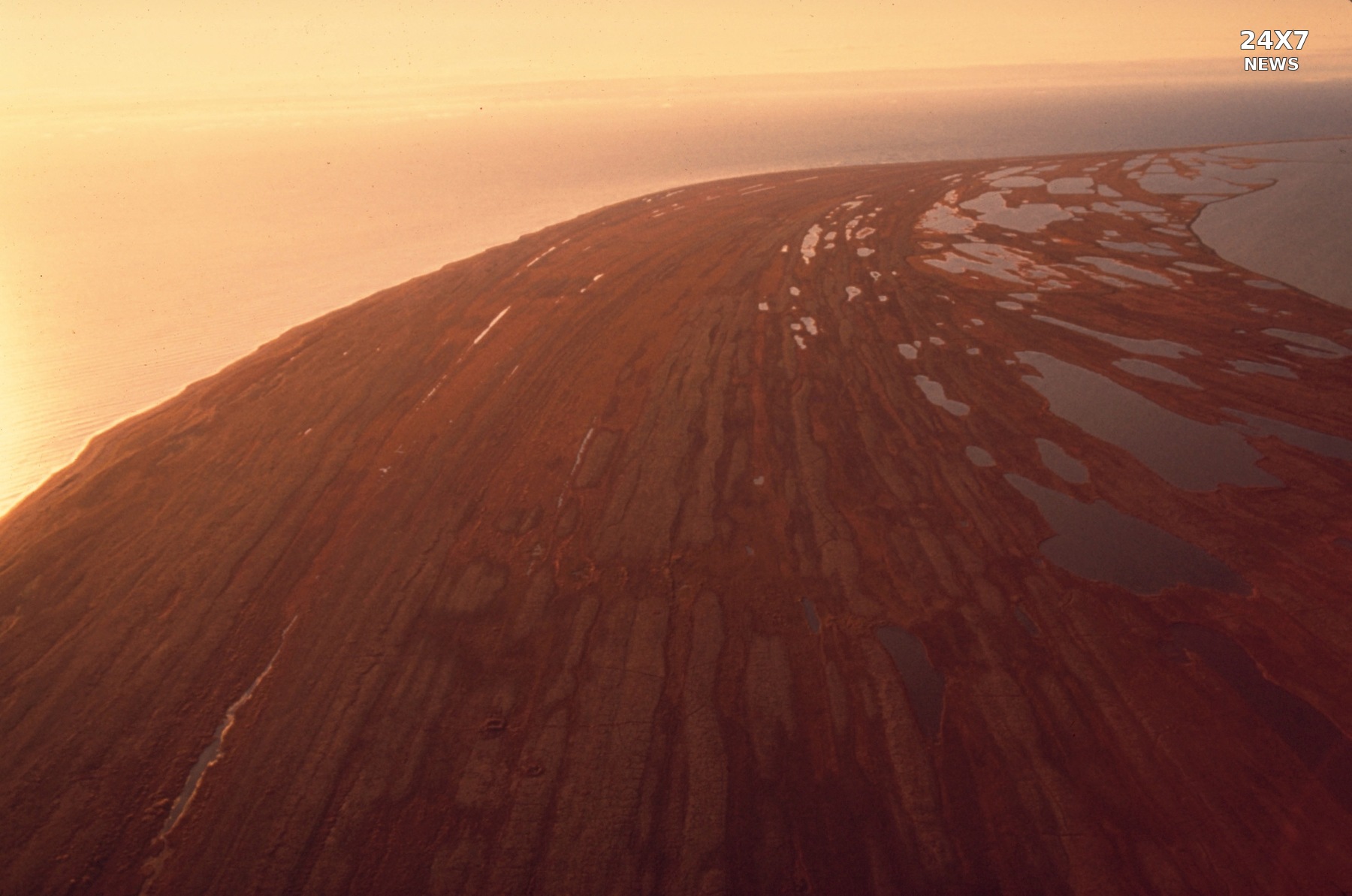 Archive: Cape Krusenstern coast, Alaska. NPS Photo / public domain.
The NWS warns of heavy freezing spray through early Monday in two coastal zones around Cape Krusenstern, with different conditions forecast for each area.
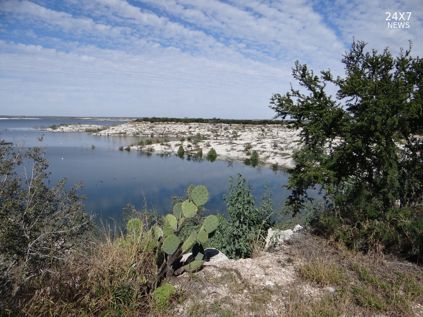 Archive: Diablo East, Amistad National Recreation Area. Alex Demas / USGS. Public domain.
The NWS forecasts another 1–2 inches of rain in southeastern Val Verde County, with an advisory in effect through 7 a.m. CST Sunday.
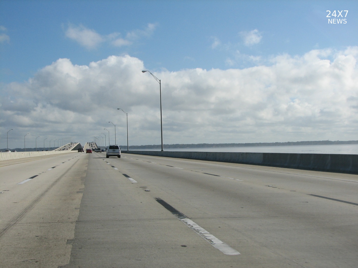 Archive: Buckman Bridge, Jacksonville, December 26, 2008. JamieS93 / CC BY 3.0; resized and branded.
Coastal and south-central Duval were added Sunday; separate land and marine advisories warn of poor visibility through 9 a.m. EST.
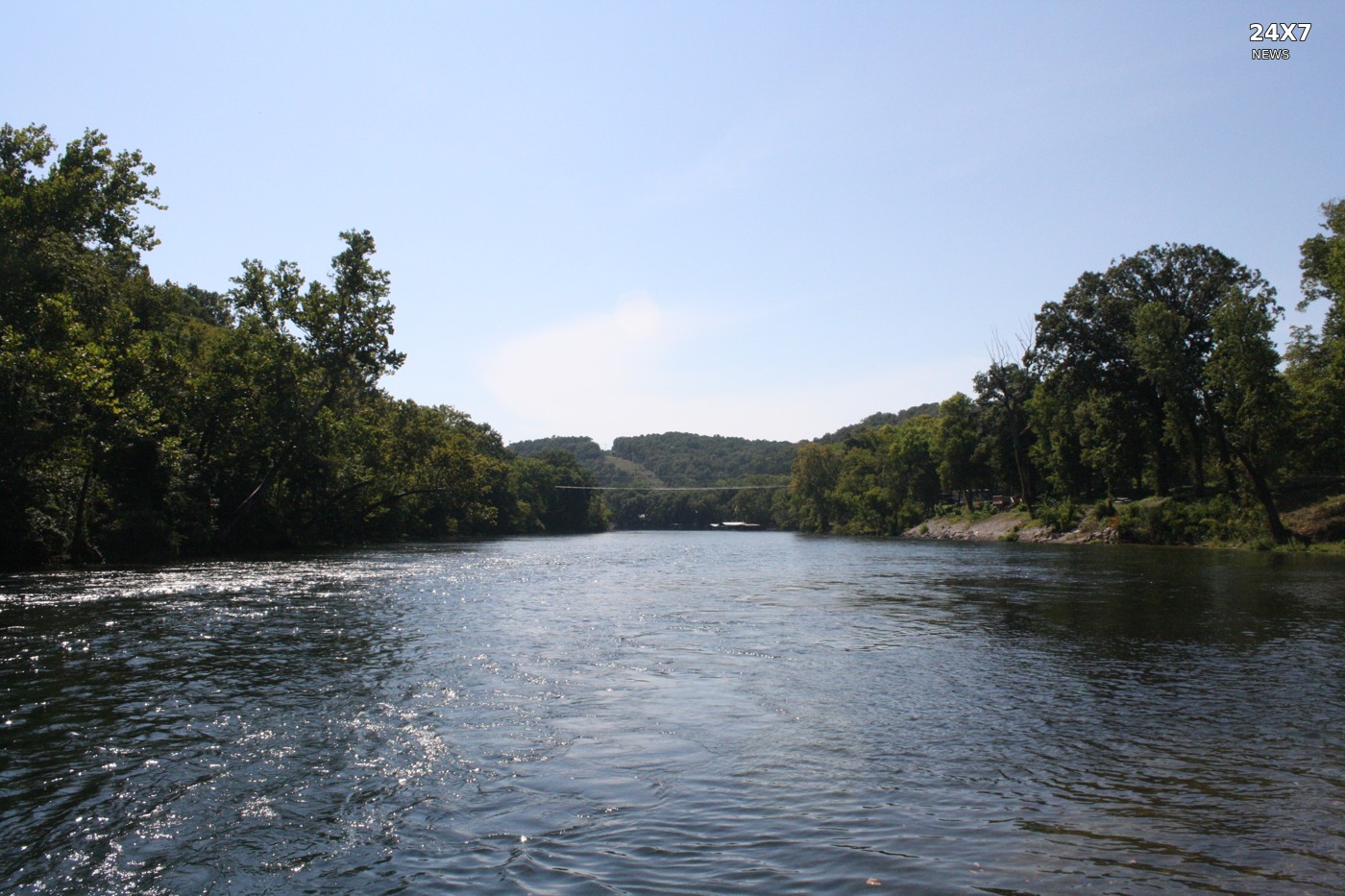 Archive: North Fork White River, Baxter County, Arkansas, August 21, 2026. Brandonrush / CC0.
A separate NWS Tulsa advisory adds four northwest Arkansas and four northeast Oklahoma counties to Sunday morning’s regional fog coverage.
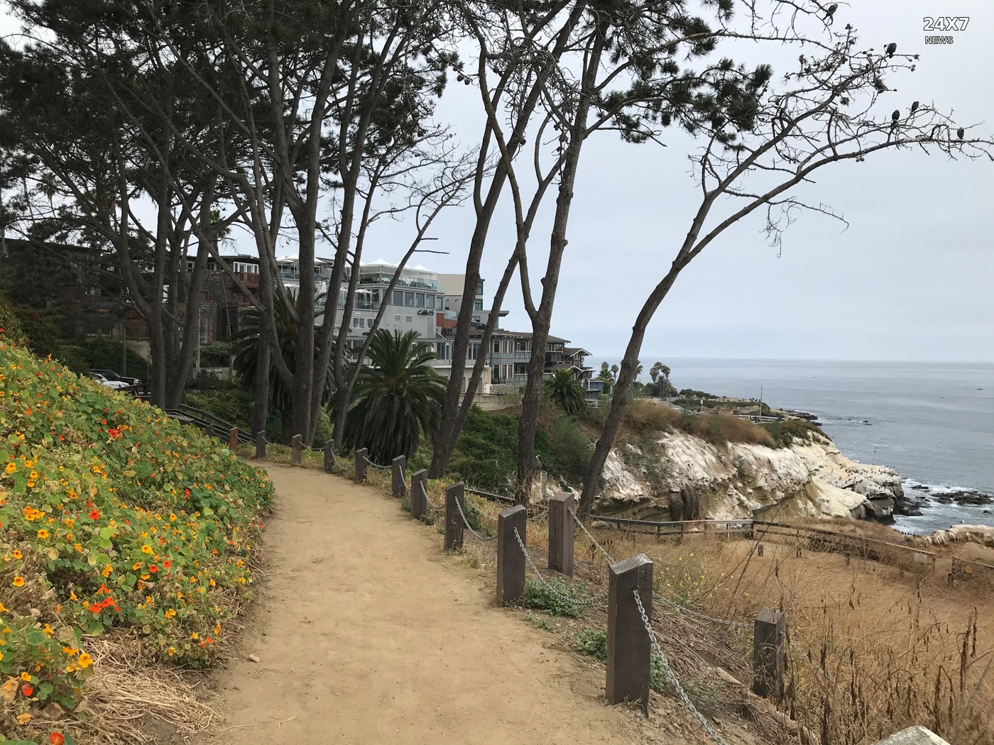 Archive: Coast Walk, La Jolla, June 21, 2020. Mollymcc / CC0.
A new NWS beach-hazards statement runs from 4 a.m. PST Sunday through Tuesday evening, with surf of three to seven feet on west-facing beaches.
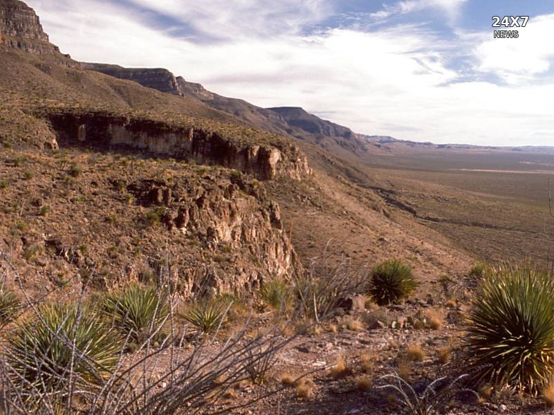 Archive: Sacramento Mountains, New Mexico. G. Thomas. Public domain.
The NWS forecasts visibility below a quarter-mile in the South Central Mountains and Sacramento Mountains through 9 a.m. MST.
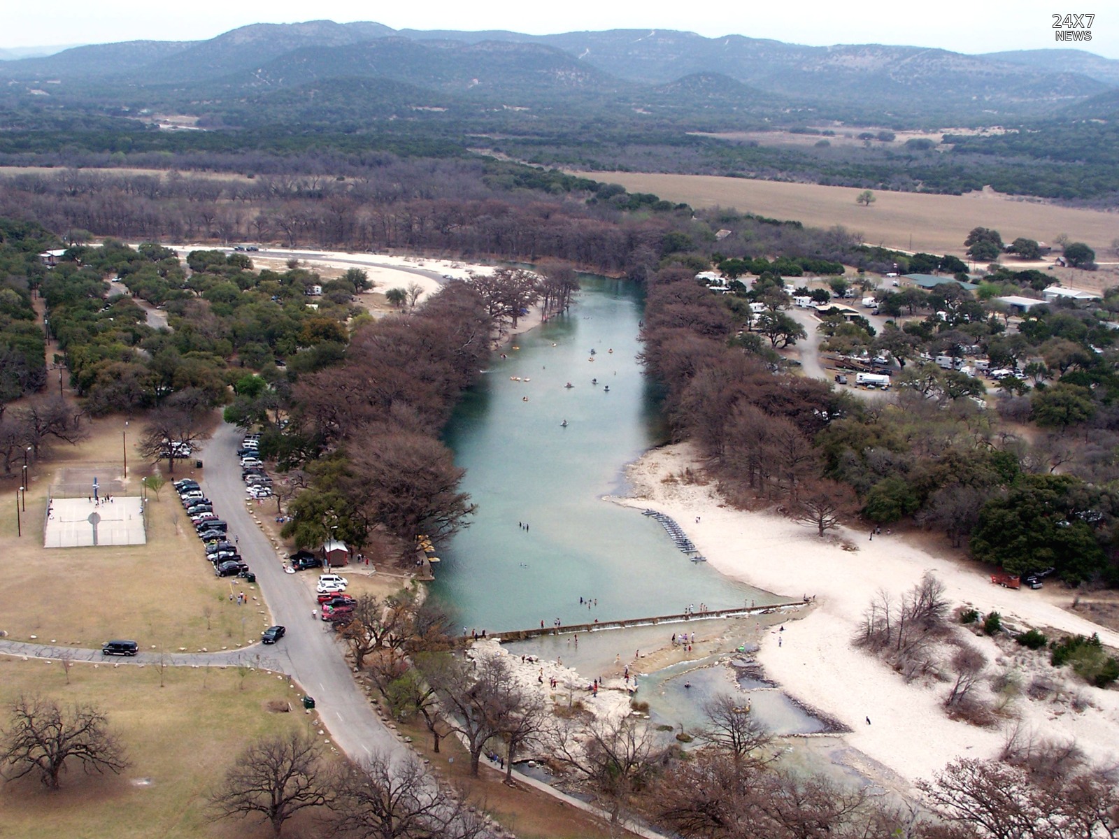 Archive: Frio River at Garner State Park, March 16, 2006. Larry D. Moore / Wikimedia Commons, CC BY 4.0; resized and branded.
The NWS warns of life-threatening flash flooding until 8 p.m. CST Sunday; emergency officials report impassable crossings near Barksdale.
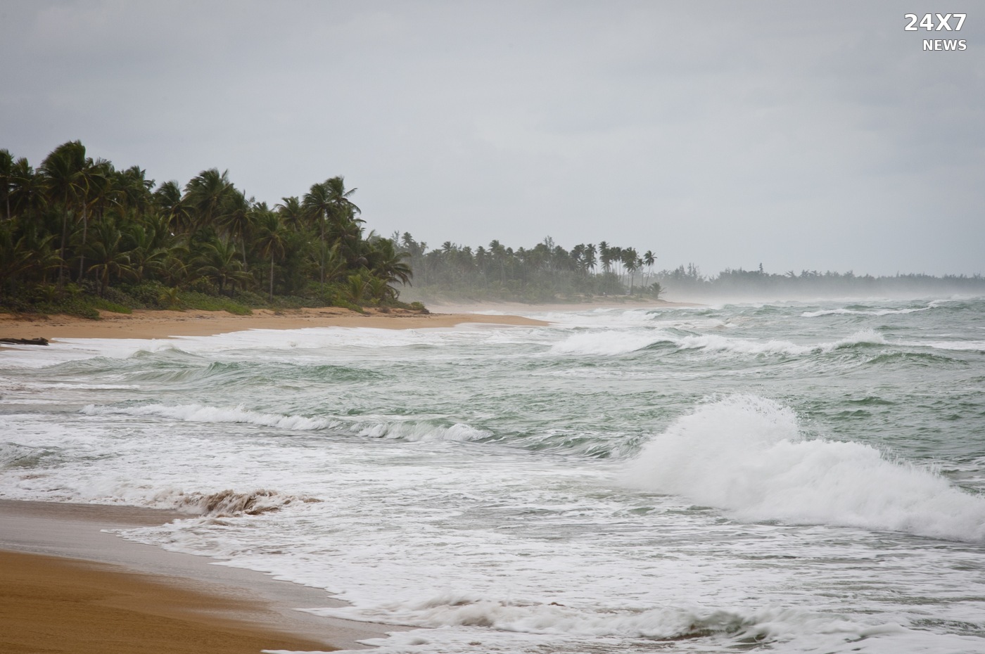 Archive: Loíza, Puerto Rico, December 22, 2010. Eric Pancer (vxla) / CC BY 2.0. Resized and branded.
The National Weather Service warns of life-threatening rip currents through Monday afternoon, including beaches around Aguada, Rincón and Culebra.
Archive: Loíza, Puerto Rico, December 22, 2010. Eric Pancer (vxla) / CC BY 2.0. Resized and branded.The NWS warns boaters about a radar-indicated storm off Loíza and Río Grande through 4:30 p.m. Atlantic Standard Time Saturday.
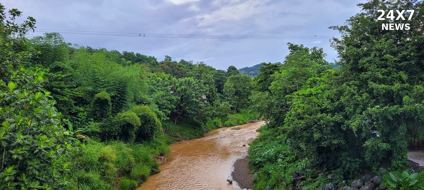 Archive: Río de Bayamón, November 6, 2024. Yarfpr / Wikimedia Commons, CC BY-SA 4.0. Resized and branded; derivative under the same license.
The NWS reports radar-indicated heavy rain and a flash-flood threat through 5:45 p.m. Atlantic Standard Time Saturday.
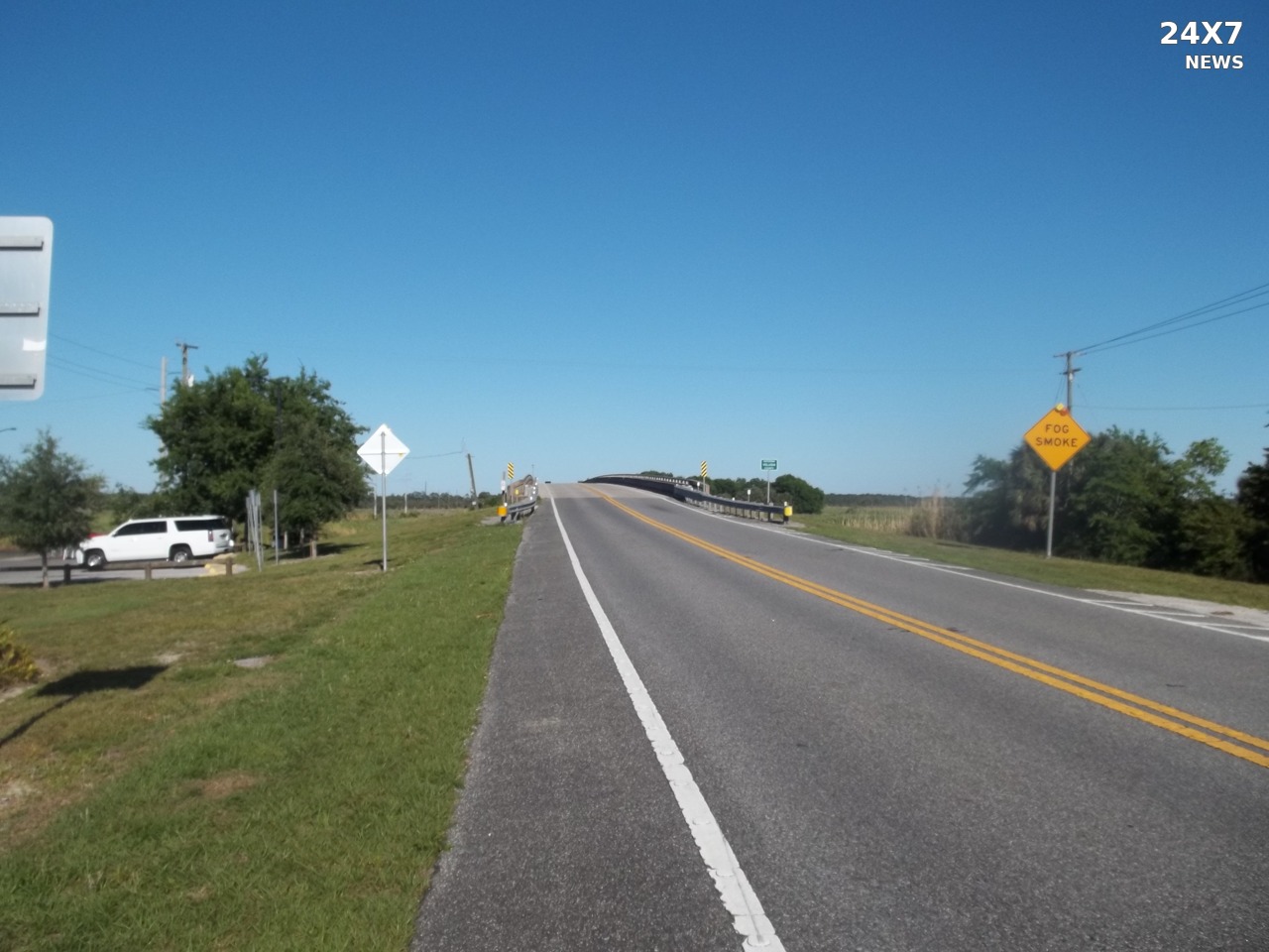 Archive: St. Johns River bridge, Brevard County, Florida, April 21, 2019. Ebyabe / CC BY-SA 4.0. Resized and branded; derivative licensed CC BY-SA 4.0.
Evening NWS bulletins forecast major flooding near Cocoa and revise the timing and peak levels expected near Sanford and DeLand.
 Archive: Zapata, Texas, January 17, 2009. Billy Hathorn / CC BY-SA 3.0. Resized and branded under the same license.
Law enforcement reports flooding on Highways 141 and 281 in Kleberg County; a renewed warning covers parts of three counties.
 Archive: Sherburne National Wildlife Refuge, Minnesota. Tina Shaw / USFWS. Public domain.
A new warning forecasts 28–32 degrees in seven Virginia forecast areas overnight, alongside the Ohio Valley and four-state Paducah warnings.
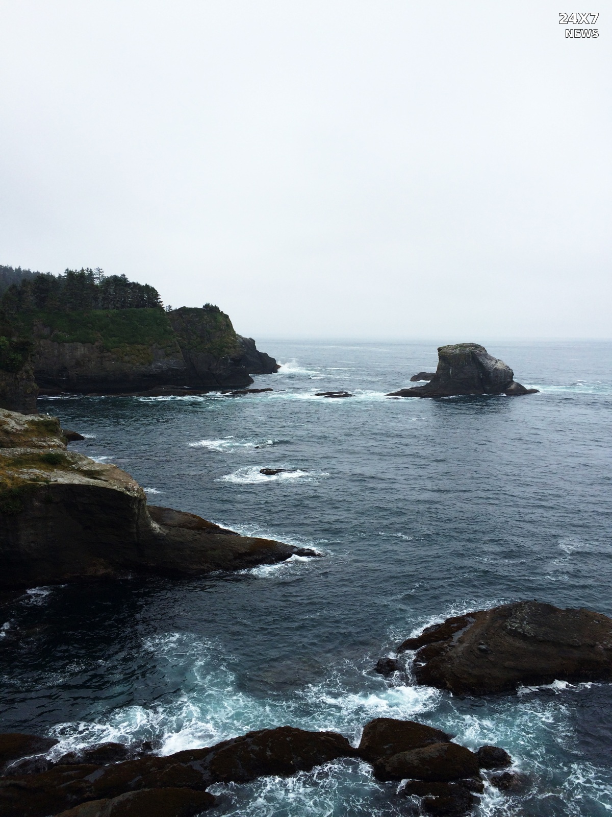 Archive: Cape Flattery, Washington, May 19, 2015. Elizabeth Weinberg / NOAA. Public domain.
The NWS forecasts gusts up to 40 knots Monday in a newly warned part of Oregon’s coastal waters, as Sunday’s hazardous seas continue.
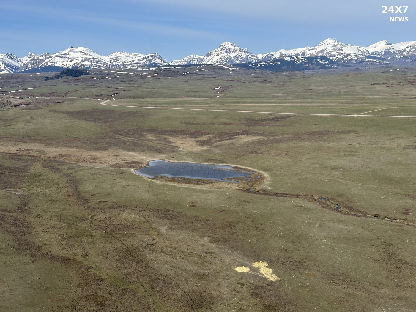 Archive: Montana’s Rocky Mountain Front, circa 2024. USFWS. Public domain.
An updated Sunday forecast lowers the broader mountain-front gust maximum to 90 mph while retaining isolated 100-mph gusts through 8 p.m. MST.
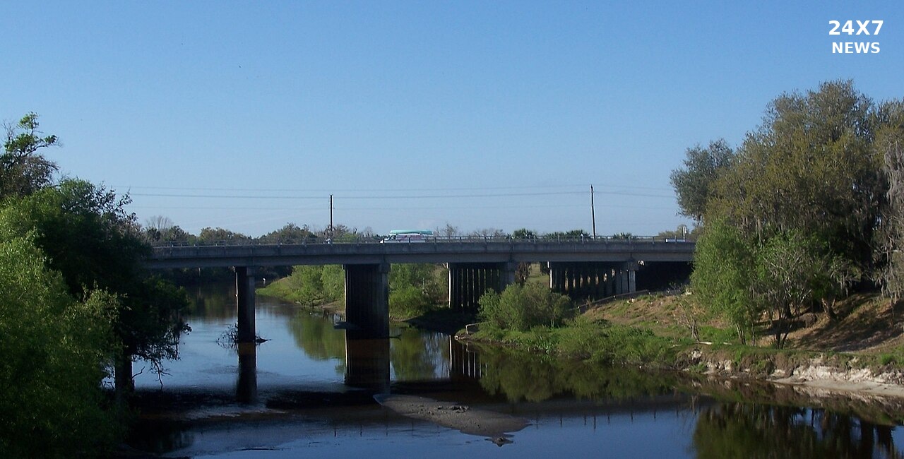 Archive: February 27, 2011. Ebyabe, “Arcadia FL SR 70 Peace River Bridge 01.JPG” / Wikimedia Commons — CC BY-SA 3.0 (https://creativecommons.org/licenses/by-sa/3.0/). Resized and branded under the same license.
Sunday’s NWS reading is lower than Saturday’s, but the Florida river remains above its 11-foot flood stage and under a warning.
The NWS warns of radar-indicated 60 mph gusts as a storm moves east from Fall River; the warning runs through 9 p.m. EST Friday.
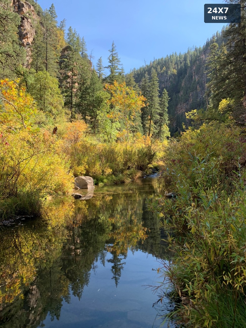 Archive: Kelly Mott Lacroix/USFS · Public domain · October 10, 2022
The NWS warns of life-threatening flash flooding in the West Clear Creek drainage, including part of State Route 260, through 11:15 p.m. MST Friday.
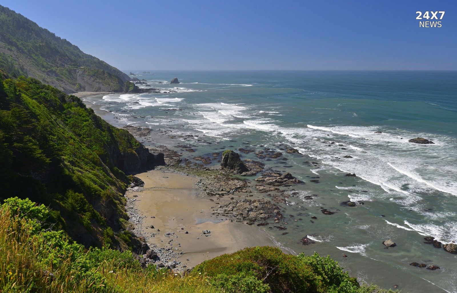 Archive: Enderts Beach, Redwood National and State Parks. NPS. Public domain.
The NWS revised the high-surf start time to 7 a.m. PST; forecasts remain 22–24 feet, alongside separate hazardous-seas warnings.
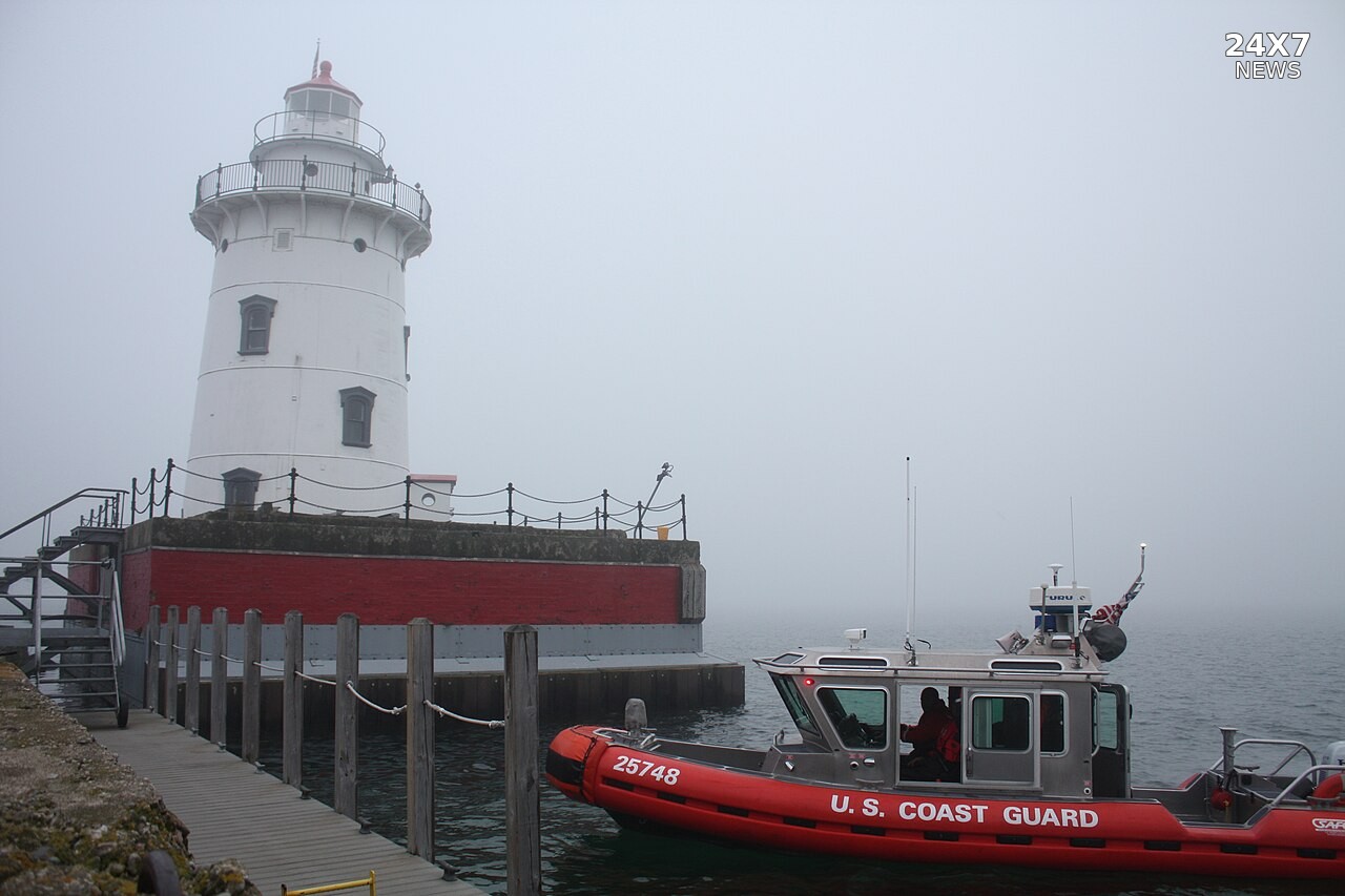 Archive: Harbor Beach, Michigan, June 24, 2014. Petty Officer 3rd Class Peter Brown / USCG. Public domain.
New warning coverage includes Bois Blanc Island and Thunder Bay waters; separate offshore warnings forecast significant waves up to 11 feet.
Archive: Sherburne National Wildlife Refuge, Minnesota. Tina Shaw / USFWS. Public domain.The NWS added five West Virginia counties to an overnight frost advisory while continuing coverage in nearby Kentucky, Ohio and West Virginia counties.