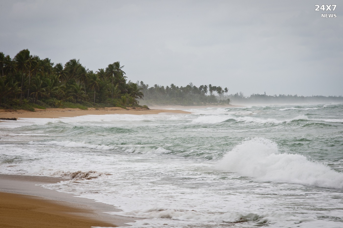
The National Weather Service issued a special marine warning Saturday for northern Puerto Rico waters after radar detected a severe thunderstorm capable of producing waterspouts just offshore of Loíza and Río Grande.
The San Juan office issued the warning at 3:46 p.m. Atlantic Standard Time November 7. It runs until 4:30 p.m. AST, equivalent to 2:30 p.m. Central Standard Time.
The storm was moving northeast at 10 knots. The bulletin lists waterspouts and wind gusts to 34 knots as the hazards and says the thunderstorm will remain mainly over open water.
The warned marine zones include coastal waters of northern Puerto Rico out to 10 nautical miles and Atlantic waters of Puerto Rico and the U.S. Virgin Islands from 10 nautical miles to latitude 19.5 degrees north. Those zone names describe the bulletin’s coverage; they do not mean a waterspout has been observed throughout that area.
The weather service warns that waterspouts can overturn boats and create locally hazardous seas. Small craft could be damaged by brief stronger winds and suddenly higher waves.
Boaters are urged to seek safe harbor until the storm passes. Dangerous lightning and heavy rain are also possible. The agency asks people who observe severe weather to report it to the Coast Guard or the nearest law-enforcement agency, which can relay it to forecasters.
The hazard is radar-indicated; the warning does not confirm a waterspout sighting.
Sources: National Weather Service San Juan — November 7, 3:46 p.m. AST special marine warning.