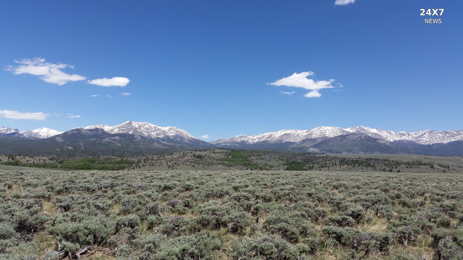
The National Weather Service in Riverton issued a winter weather advisory October 31 for the western Wind River Mountains in Wyoming, forecasting six to nine inches of snow above 9,000 feet.
The advisory runs from 8 a.m. Sunday, November 1, through 5 a.m. Mountain Standard Time Monday, November 2. The bulletin identifies Sunday between 11 a.m. and 11 p.m. MST as the period of heaviest snow.
The forecast is elevation-dependent. For South Pass, the weather service lists totals of up to two inches, mainly at its highest elevations, rather than the six-to-nine-inch range specified for mountain terrain above 9,000 feet.
Forecasters warn that mountain travel could become difficult. Their public instructions advise slowing down and exercising caution, and direct travelers to the 511 service for current state road conditions.
The figures describe expected accumulation during the upcoming advisory period. They are not snow measurements already recorded Saturday.
The notice applies to the Wind River Mountains West forecast zone. It should not be read as a uniform snowfall prediction for every community surrounding the range.
Sources NWS Riverton — October 31 Winter Weather Advisory: https://api.weather.gov/alerts/urn:oid:2.49.0.1.840.0.035198e83b050276fe8457fd991ff7aa75cef3e9.001.1